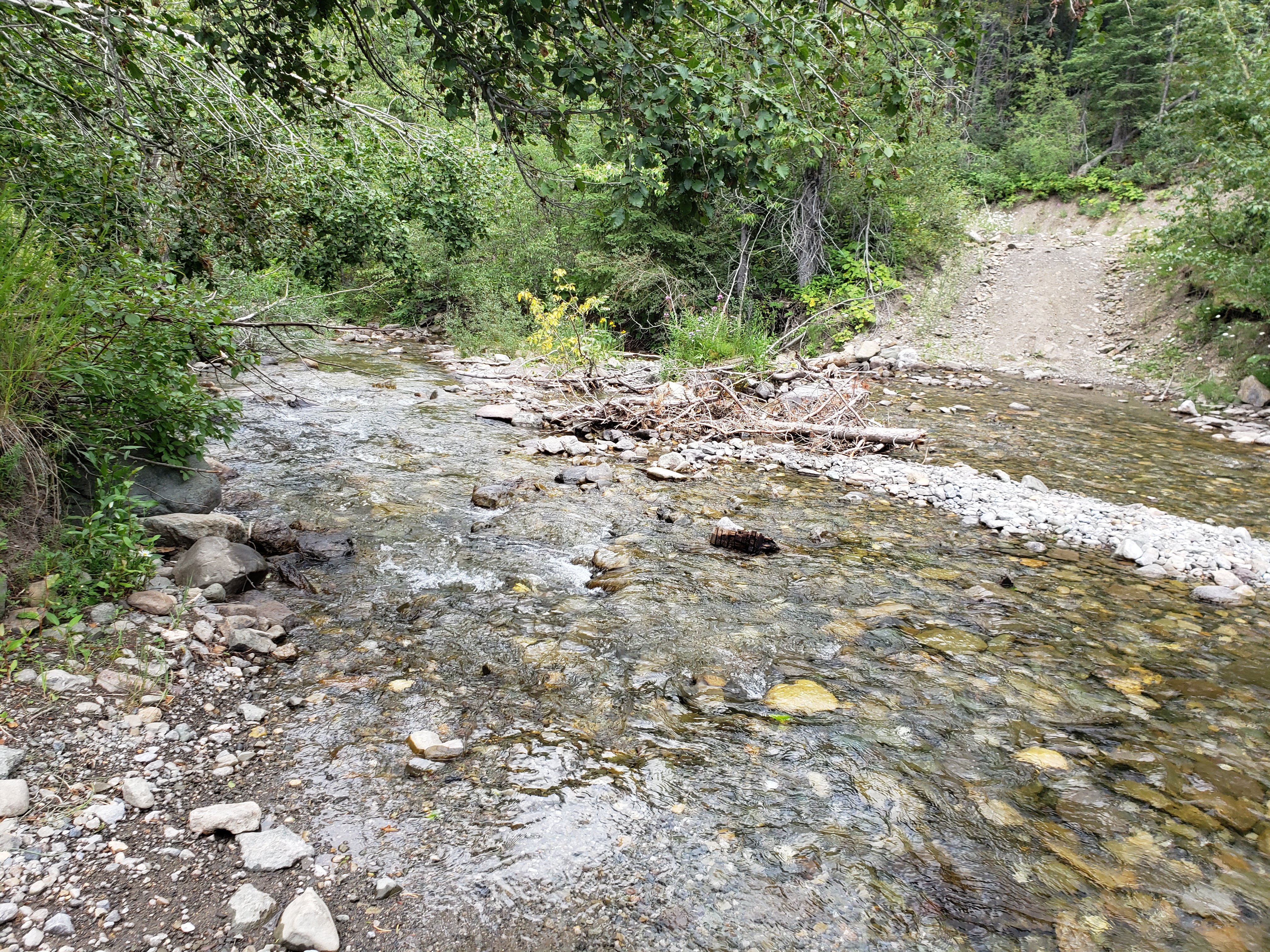
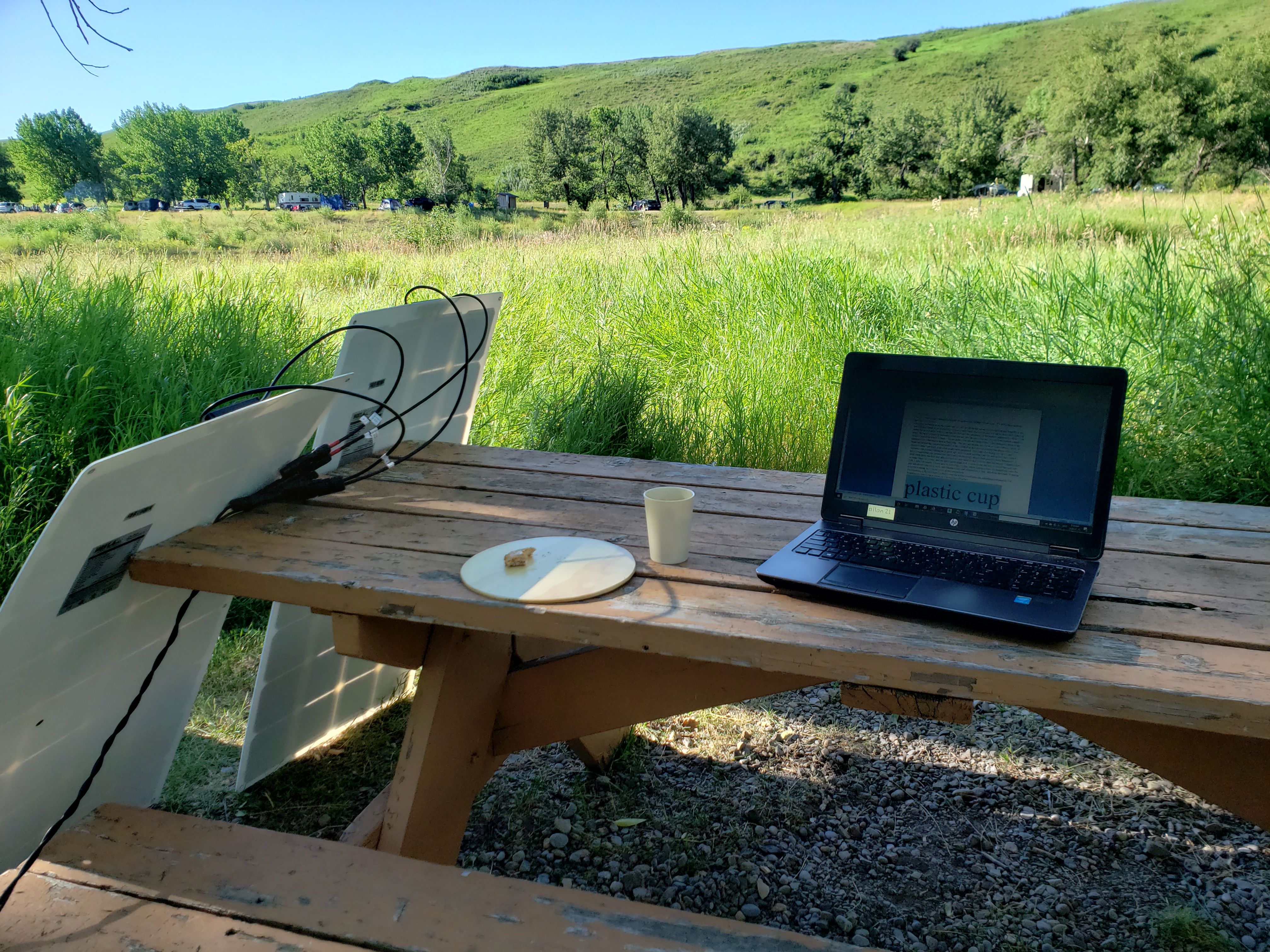
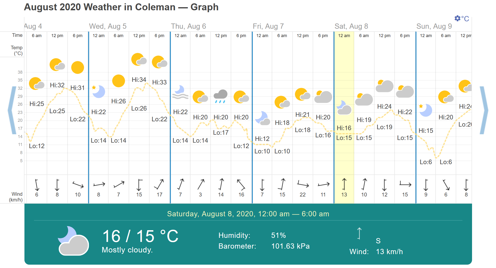
This was one of the most gruelling hikes for us – Mo & family and me. We talked about a hike a few days before. I brought a brochure of hikes in the Crowsnest Pass for Mo & family to look at. Since S really wanted a hike during one of our last year’s camping trips, I suggested that she pick the spot. She picked the North York Creek plane crash hike. It’s south of Coleman, AB. I asked if anybody mined that I drove because my stomach had been iffy – motion sickness often gets to me. So we all piled into my van and went. We stopped at Subway for a bite before heading up. The weather was decidedly cool when we got out – a balmy 16°C. We were wondering if it would be chilly and rainy all day.
We drove seemingly in every direction, winding through the town, before finally heading south up a paved then gravel road, higher and higher up the mountain. We saw signs for our destination. We found a parking area (called a staging area – not sure why), parked there, and ate half our subs before heading up the gravel road toward our destination. Quads and dirt bikes screamed by. We wondered if we were in the right area – after all, M & M have kids. I asked a guy sitting in his truck if we were in the right spot; he suggested that we were way off, that we needed to keep going way up the road another few kilometres. So we did.
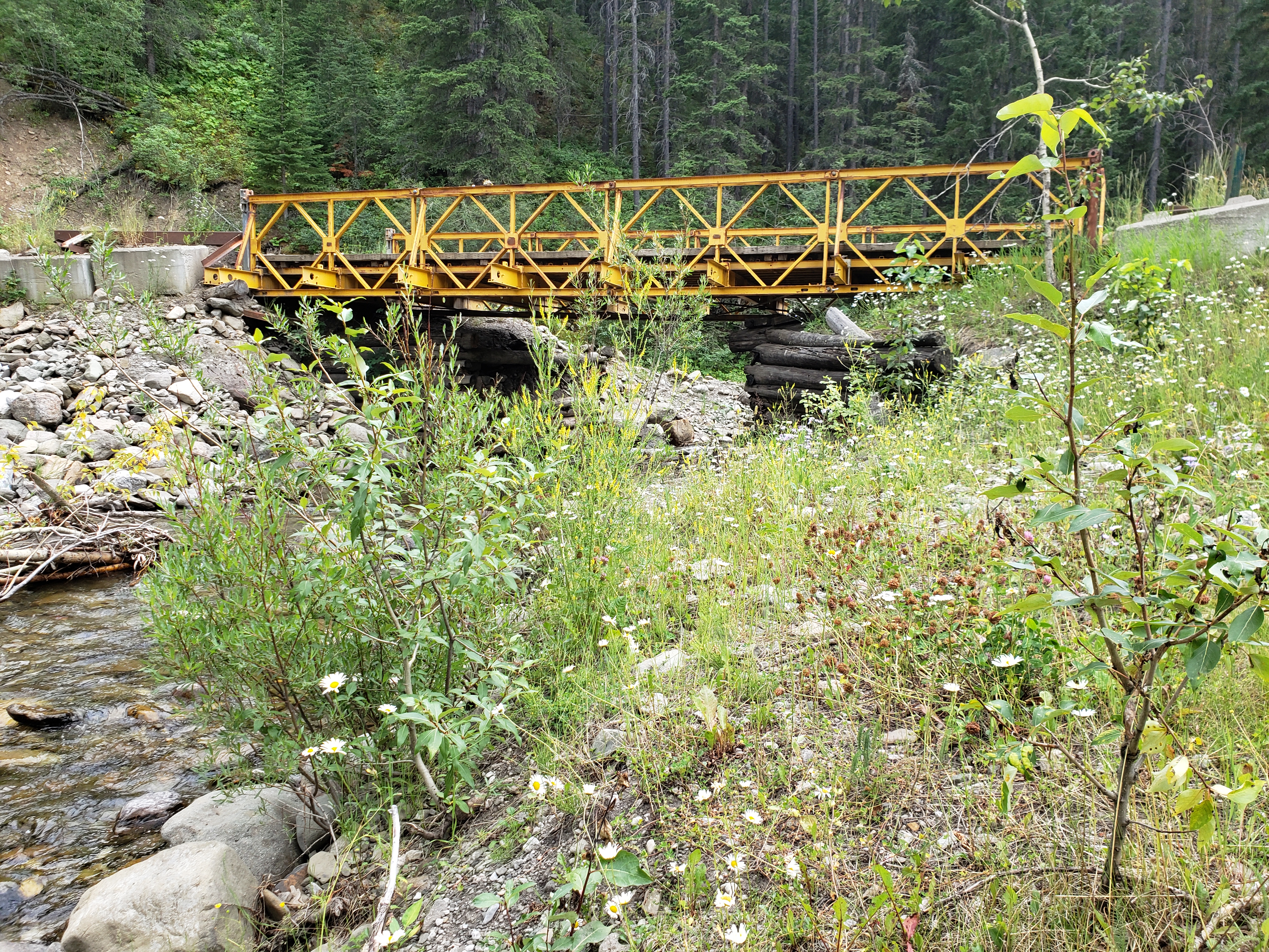
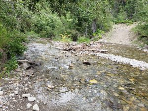
Mo was a little freaked by all the potholes, concerned that it would damage the van. It was rough, and we bounced around like a bunch of Mexican jumping beans in the van. So we parked the van and started hiking. More vehicles were going by. It was still a long hike up, but we came across a bridge (that everyone told us about) and a fork and decided to go up the steeper grade.
Read more